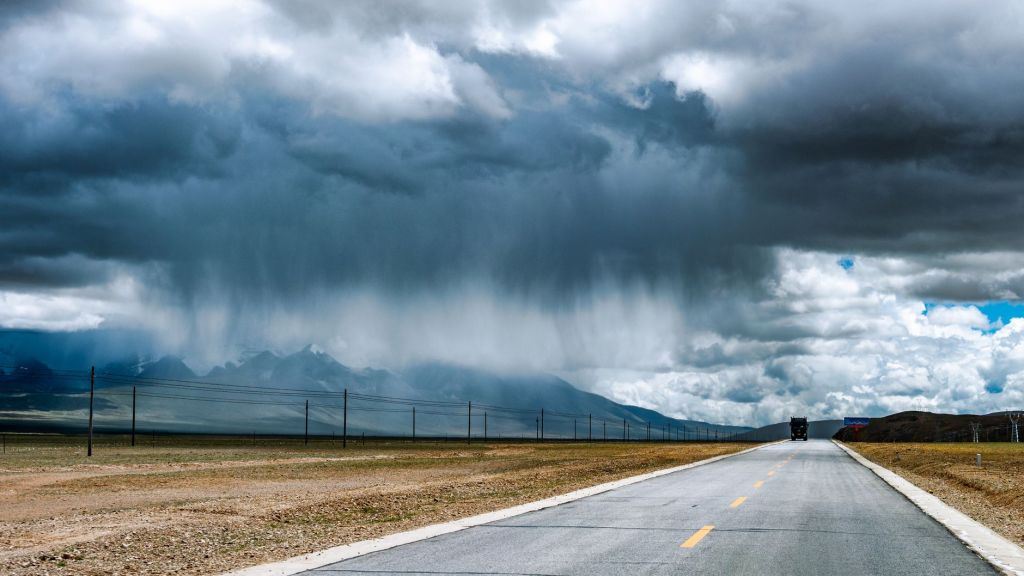
California is bracing for what forecasters describe as its most widespread storm of the fall so far. A moisture-laden atmospheric river is set to sweep across the state from late Tuesday, Nov. 17, through Thursday, Nov. 19, bringing heavy rain to the Bay Area and Southern California and feet of snow to the Sierra Nevada, just days before the busy Thanksgiving travel week.
The storm follows a rough stretch along the West Coast. Over the weekend and into Monday, earlier storms flooded some Bay Area highways with water up to 2 feet deep, pushed wind gusts to 64 mph in Sonoma County and sent large waves that damaged Monterey Bay’s historic Capitola Wharf, according to CNN reporting. Because the ground is already soaked, forecasters say this next round of rain is more likely to cause flooded roads.
Where the heaviest rain is expected
Heavy downpours are expected to reach the San Francisco Bay Area and Central Coast early Wednesday, possibly during the morning commute. CNN reported general totals of 1 to 2 inches there, while the National Weather Service office for the Bay Area and Monterey has forecast 2 to 3 inches across much of the region. Both point to 3 to 5 inches in the coastal mountains, and a lot of it could fall within just a few hours, sometimes with thunderstorms.
Farther south, Los Angeles, San Diego and nearby mountains should see the worst of it from late Wednesday night into Thursday morning. The National Weather Service office for Los Angeles and Oxnard forecast 1 to 3 inches across the region and 2 to 5 inches on favored south-facing slopes and foothills. The federal Weather Prediction Center placed parts of coastal California under a Level 2 of 4 risk of flooding rain on Wednesday and Thursday.
Forecasters are watching for urban flooding, rockslides on canyon roads and debris flows near areas scarred by recent wildfires, where burned soil absorbs less water and can wash downhill in intense rain. The weather service said river flooding is considered unlikely in the Los Angeles area, but water could rise quickly in normally dry channels.
Feet of snow for the Sierra Nevada
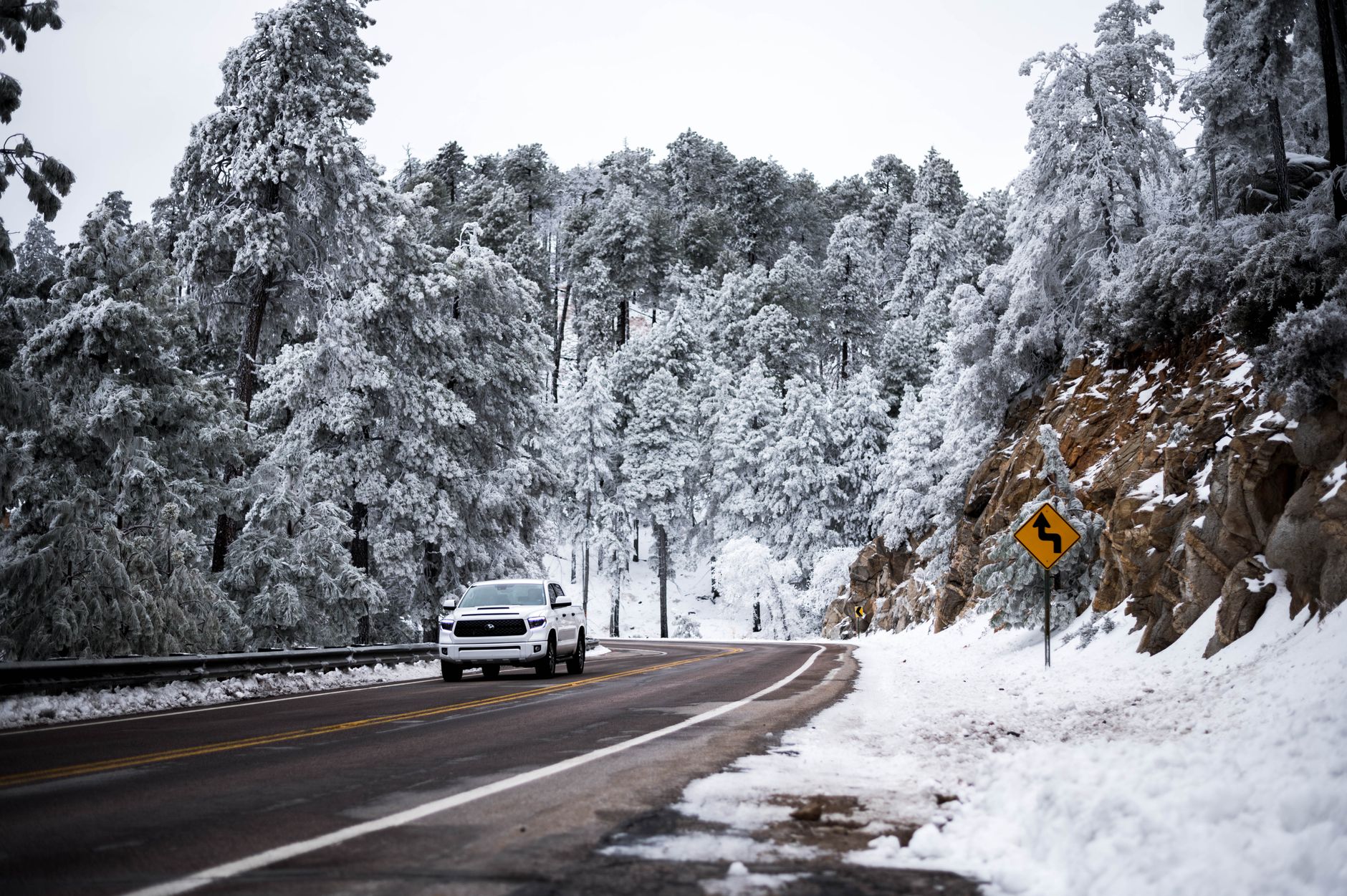
Winter storm warnings cover the Sierra Nevada. The National Weather Service in Sacramento forecast 1 to 2 feet of snow above about 5,000 feet in the northern Sierra and southern Cascades, with up to 3 feet on the highest peaks, and warned that mountain travel could become very difficult to impossible from Tuesday night into early Friday.
Interstate 80 over Donner Pass is expected to be especially dangerous starting Wednesday, with snow falling at 1 to 2 inches per hour along with gusty winds, CNN reported. Chain controls and road closures are possible. The fresh snow is good news for ski resorts but could make trips through the mountains slow and risky.
Wind is another concern. Gusts of 30 to 50 mph are possible in parts of the Bay Area and interior Northern California Tuesday night and Wednesday, and gusts of 40 to 60 mph could hit mountains and foothills around Los Angeles. Combined with wet soil, those winds could topple trees and cause scattered power outages.
More storms may be lining up
Researchers at the Center for Western Weather and Water Extremes at UC San Diego said in their Nov. 16 outlook that a weaker system could follow around Friday, Nov. 20, and that a potentially major atmospheric river could reach the coast between Washington and central California around Nov. 23 to 25, though they stressed that timing and location are still very uncertain. They also noted some central California watersheds could receive more than 20% of their normal yearly precipitation in just 10 days.
CNN reported that California is likely to see more of these storms in the coming weeks and months, as a potentially historic El Niño raises the odds of a wet winter. CNN described the atmospheric river as being like a fire hose in the sky, a long plume of moisture that can stretch thousands of miles. Travelers already planning long drives can also check the latest Thanksgiving travel outlook before heading out.
Why it matters for families
With millions of people expected to travel for the holiday, this week’s storm is a reminder to plan ahead. A few common-sense steps:
- Check road conditions and chain requirements before any mountain drive. Caltrans posts current restrictions on its QuickMap service.
- Never drive through flooded roads. Water can be deeper and faster than it looks.
- Keep phones charged and flashlights handy in case wind knocks out power.
- Stay off beaches and jetties during high surf, and keep children and pets well back from the water.
- If you live near a recent burn area, follow local evacuation guidance and know your route out.
Families with Thanksgiving plans in the West may want to keep an eye on next week’s outlook, too. Upstormed News will follow the storm and any holiday travel impacts as forecasts are updated. You can also see how to prepare for alerts in our story on the nationwide emergency alert test.
Read more: Senate Clears 70-27 Hurdle on Energy Permitting Bill, Final Vote Next
Are you changing any holiday travel plans because of the weather out West?
Sources: CP24 (CNN), “California braces for atmospheric river-fuelled storm” (November 17, 2026); The Watchers, “2 atmospheric rivers to bring heavy Sierra snow and California flood risk” (November 16, 2026); Center for Western Weather and Water Extremes, “CW3E AR Outlook: 16 November 2026” (November 16, 2026); FOX Weather, “West Coast braces for relentless barrage of storms as powerful atmospheric river fuels heavy rain, strong surf” (November 16, 2026)



Leave a Reply